|
Find Other Medical Centers
Look through our directory for other healthcare providers such as addiction services, blood banks, eyecare, alternative health options and more.
October 10th - 11th, 2023
5. Advocacy for Business Interests:
|
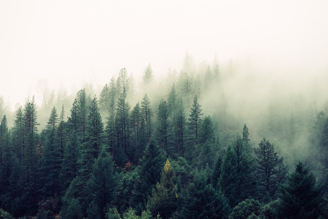
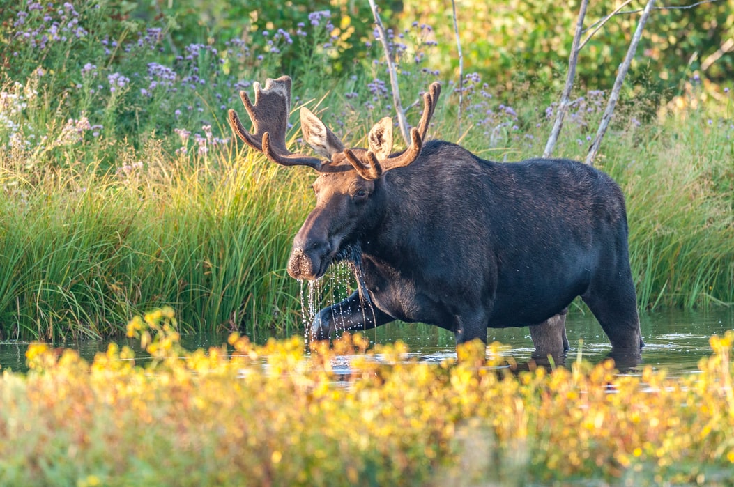
Lolo National ForestSurrounding Missoula on all sides, the Lolo National Forest is a wonderland of lakes, streams, and primeval forests full of fish and wildlife found in few other corners of the United States.
One of the highlights of the Lolo National Forest, the Rattlesnake National Recreation Area and Wilderness, is only 4 miles from downtown Missoula. Popular with locals seeking an afternoon stroll or evening ride, the trails are a favorite with hikers, bikers, dog walkers, and skiers. The Rattlesnake offers opportunities for the more adventurous, too. Avid hikers and trail runners can make the 18-mile roundtrip adventure to the summit of Stuart Peak, one of the high points of the Missoula skyline. For a rewarding day trip only a short drive from Missoula, head west to Heart Lake or Fish Creek to experience the magic of the Great Burn Proposed Wilderness. Don’t worry, this 252,000-acre roadless area, one of the largest unprotected areas in the lower-48, burned more than 100 years ago. Today, it features magnificent old growth cedar forests and lush open ridges with big mountain views. Plus, its numerous lakes and streams are an anglers’ paradise. In the opposite direction, a scenic drive along the Blackfoot and Clearwater Rivers, made famous by Norman Maclean’s “A River Runs Through It,” brings visitors to the Seeley area of the Lolo National Forest. Here, scenic trails and chains of lakes await. Spend a summer day on the Clearwater Canoe Trail, cool off under a waterfall, or challenge yourself to get to the top of the tallest peaks. Hikers can choose from the Mission Mountains Wilderness to the west, or access the iconic Bob Marshall Wilderness to the east. Lee Metcalf National Wildlife RefugeIn the valley bottom between the Bitterroots and the Sapphires, the Lee Metcalf Wildlife Refuge features native wetland and forest habitat with more than 240 species of birds and stunning views of the surrounding mountains. Visitors can enjoy short walks along the Bitterroot River, where birding opportunities abound.
|
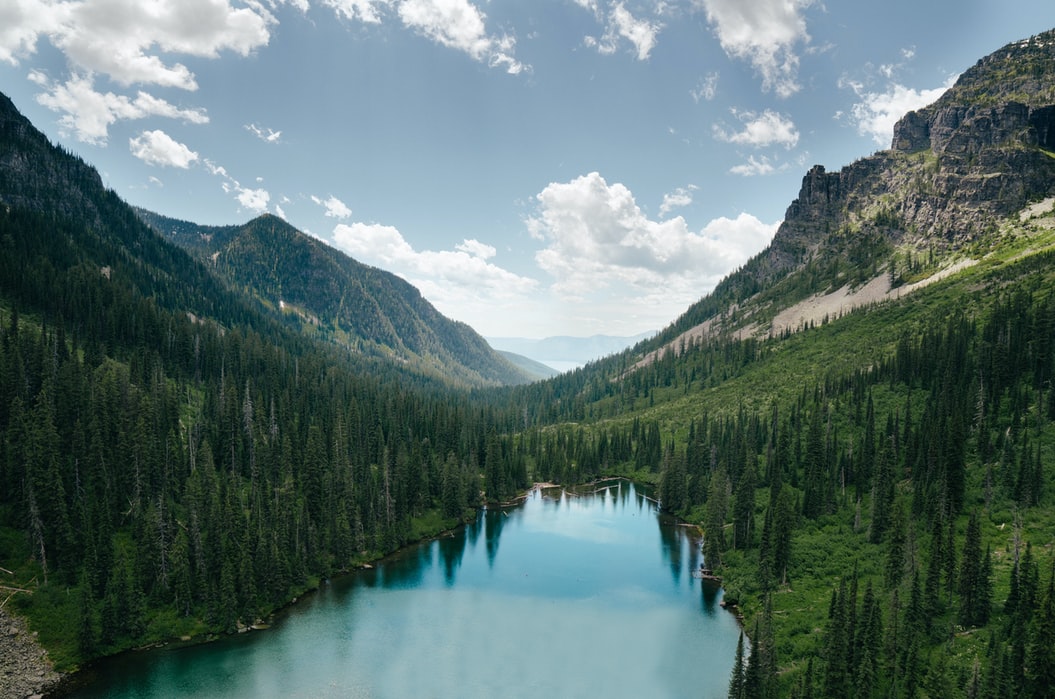
Bitterroot National ForestBest known for its namesake Bitterroot Mountains, the forest is home to craggy peaks rising more than 6,000 feet from the valley floor. Trails such as Kootenai Creek, Bass Creek, and Blodgett Canyon follow forested valley bottoms along clear rushing streams, while St. Mary’s Lookout and Trapper Peak trails are popular routes to the top of the summits. Many of these experiences offer a glimpse into the heart of the 1.3 million-acre Selway Bitterroot Wilderness, a wild area as large as the State of Delaware.
On the east side of the Bitterroot Valley, the Sapphires provide an even quieter escape. For those who take the time to get to know this area, they’re rewarded with the chance to wander through wildflower filled meadows, hear elk bugling in the fall air, and take in 100-mile views of the Bitterroot Mountains and Anaconda-Pintler Wilderness. For those seeking solitude, visitors will often have the trail all to themselves. Bureau Of Land Management Missoula Field OfficeJust a short drive east of Missoula, Bureau of Land Management (BLM) lands include the Whitaker Bridge area along the gin-clear Blackfoot River. Here, easy strolls along the riverbank provide access for anglers, picnickers, and day hikers, or try casting a fly from a boat. Colorful cliffs rise from the river, gravel beaches invite visitors to relax, and nearby campgrounds beckon an overnight getaway.
|
Copyright Missoula Area Chamber of Commerce. All Rights Reserved.
825 E Front St | Missoula, MT 59802 Phone: (406) 543-6623 | [email protected] |